Surveyed.
Verified.
Delivered.
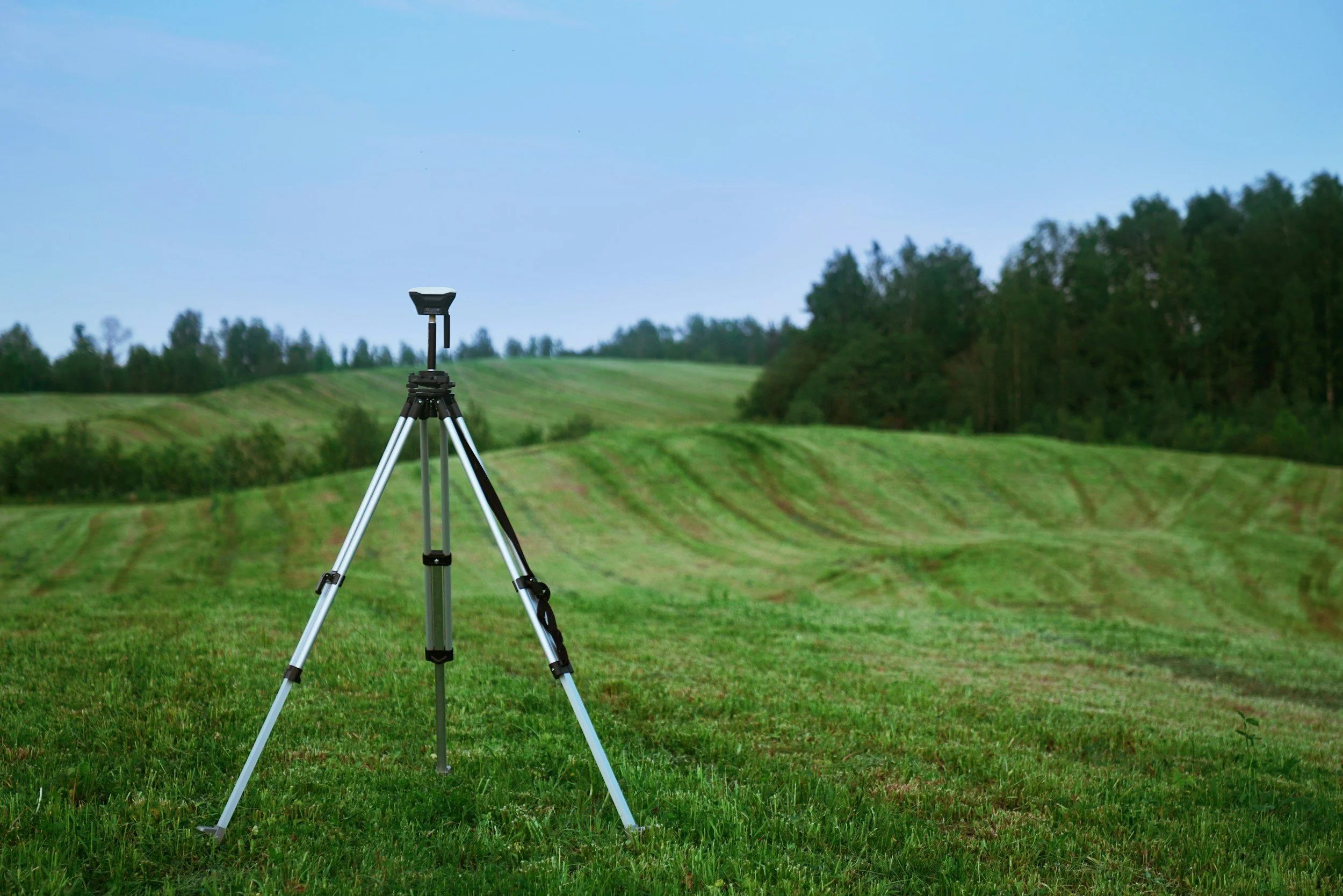
Colony Land Surveying provides professional land surveying and mapping services throughout Upstate New York and the Northern Pennsylvania area for residential, commercial, and development projects.
Professional Services
We offer a range of services to the meet the needs of every client. Have something else in mind? We’d be happy to work with you to create a custom quote.
-
A boundary survey finds the property lines and markers using deeds, records, and on-site measurements. Owners, buyers, developers, lenders, and anyone planning construction, fencing, or lot changes need a boundary survey to help reduce the risk of boundary disputes and correct land use.
-
An ALTA/NSPS survey is a standardized, detailed survey for commercial property transactions showing boundaries, improvements, easements, ROWs, encroachments, floodplain/floodway data, zoning setbacks, and other items often required by title insurers and lenders. It follows minimum standards and often includes a legal description, monuments, and certification to the client and title company.
Who needs it:
Commercial buyers needing title insurance or lender financing
Lenders and title companies requiring standardized survey data
Developers, investors, and buyers doing risk/value analysis
Attorneys, planners, and project managers for due diligence or planning
Sellers who want to streamline closing or resolve title issues
How it helps buyers:
Reveals easements, encroachments, and constraints affecting use or development
Enables consistent comparative analysis across properties
Identifies title/boundary issues that affect price, contingencies, and negotiations
For most commercial deals requiring title insurance or lender approval, ordering an ALTA survey is commonly part of commercial due diligence.
-
A topographic survey maps a site’s natural and man-made features and elevations (contours, vegetation, utilities, structures, drainage) using precise measurements, GPS and total stations to produce scaled plans and elevation data.
Who needs one:
Developers, architects and engineers for site design, grading, drainage, utilities and building placement.
Civil and landscape contractors for estimates, bids and construction planning.
Municipalities and permitting agencies for approvals, stormwater and zoning compliance.
Landowners planning improvements, boundary changes or sales.
Topographic surveys provide objective, measurable data that reflect current site conditions and support appraisal and decision-making.
-
A Flood Elevation Certificate (FEC) is an official document that records a building’s finished floor elevation and other important elevation-related information relative to the base flood elevation (BFE) for the property. It is completed by a licensed surveyor, and used to determine flood insurance rates and to show compliance with local floodplain regulations.
Who needs a Flood Elevation Certificate
Homeowners in Special Flood Hazard Areas (SFHAs): If your property is in a mapped high-risk flood zone (often shown as Zone AE, A, AH, etc.), an FEC is commonly required to get or adjust flood insurance through the National Flood Insurance Program (NFIP).
Lenders and mortgage holders: When you buy or refinance a home in an SFHA, your lender may require an FEC to confirm flood risk and set insurance requirements.
Property buyers and sellers: An FEC provides clear, documented elevation data that helps buyers understand flood risk and insurance costs. Sellers may provide one to speed transactions.
Property owners seeking lower flood insurance premiums: An updated FEC can show that the lowest floor is higher than previously recorded, which may reduce insurance rates.
Local permitting and building departments: When building, elevating, or making substantial improvements in a floodplain, local authorities often require an FEC to demonstrate compliance with elevation and floodplain management rules.
What’s on an FEC
Property and building location
Building elevations (finished floor, bottom of lowest horizontal structural member, top of slab)
Ground elevations and datum used
Flood zone and base flood elevation
Signature and stamp of the licensed professional
When to get one
Before buying or selling in a floodplain
After construction, elevation, or substantial damage repairs
If seeking to adjust flood insurance premiums
Getting an FEC from a licensed surveyor, may provide accurate, certifiable elevation data that may be needed for insurance, lending, and regulatory compliance.
-
A subdivision plan is a map that splits a larger parcel into smaller lots. It shows lot lines and sizes, roads, easements, utilities, contours or grades, access points, and includes surveyor‑certified measurements and legal descriptions for filing with the local government.
Who needs a subdivision plan
Landowners and developers splitting land for sale, building, or financing
Realtors and builders needing accurate lot layouts and legal descriptions
Local planning and zoning officials checking zoning, infrastructure, and safety
Lenders and title companies for loans and clear title insurance
Engineers and utility companies for designing roads, sewer, water, and services
A recorded subdivision plan is usually required before lots can be sold separately, before building permits are issued, and to ensure clear legal title and correct infrastructure placement.
Surveying services, including boundary, ALTA/NSPS, topographic surveys, flood elevation certificates, and subdivision layouts, are performed in accordance with applicable standards and client-specific scope of work. The level of detail, accuracy, and deliverables may vary based on the project requirements, site conditions, and data availability. Statements regarding survey purpose or outcomes are general in nature and should not be interpreted as guarantees of specific results, approvals, or regulatory acceptance.Schedule Today